Surveying
High-quality measurement data are the essential foundation for planning and realising all projects. Stock-taking and surveying are carried out using a tachymeter and GPS; bodies of water are surveyed using an echo sounder or with our octocopter drones which are efficiently combined with the most up-to-date hard and software. Our motto: A perfect start to your project allows it to be completed right on time!
We provide the following services for the realisation of your project:
Surveying during the planning phase (draft survey and stock measurement)
- Inventory of streets
- Topographic mapping
- Conduit measurement
- Creation of digital terrain models
- Earth mass determination using terrain models
- Mass calculation using cross profiles pursuant to REB [German Guidelines for Electronic Construction Invoicing]
Engineering surveying and building surveying
-
Survey control network and GPS measurement
-
Rough and fine staking out (reference line)
-
Height surveying
-
Surveying the axis
-
Deformation measurements
-
Industrial and object measurements
Expert services pursuant to section 20 et seqq. PrüfVBau [German Ordinance for Certified Inspectors in the Construction Industry]
-
Reference line inspection and approval as well as base monitoring
-
Creation of the calibration certification as proof of the location, height and border margins for submission to the approving authorities
-
Checking the building construction
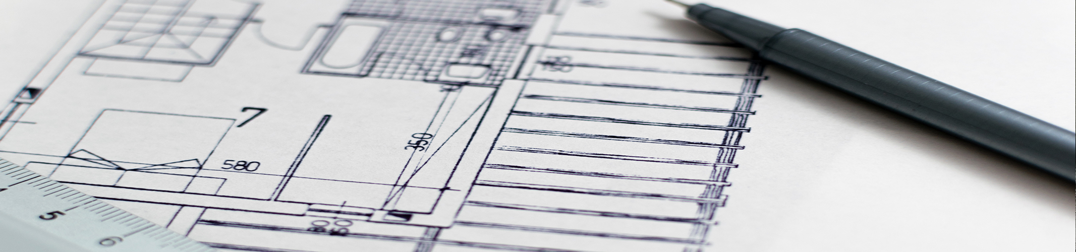
Building surveying
-
BIM (Building Information Modelling)
-
3D laser scanning
-
Layout plans, cross sections and facade views
Hydrographic surveying
- Echo sounder measurements to establish the target depths of bodies of water
- Longitudinal sections of bodies of water and section profiles for hydraulic calculations
- Examination of wet extraction areas
- Creation of contour plans (DTM) in the area of bodies of water
- Simulation of low and high water levels
Drone flights
- Taking stock of terrain, gravel quarries, stone quarries as well as
roof plans and facade views - Data collection for orthophotographs, 3D models, 3D point clouds and geomonitoring as a basis for planning
- Documentation of the state of bridges, buildings and façades as well as industrial and power plants